AARP Hearing Center
- right_container
- Health
- Money
- Work & Jobs
- Advocacy
- Social Security
- Medicare
- Caregiving
- Games
- Travel
- More...
- Entertainment & Style
- Family & Relationships
- Personal Tech
- Home & Living
- Auto
- Staying Sharp
- Podcasts
- Videos
Turtle River State Park
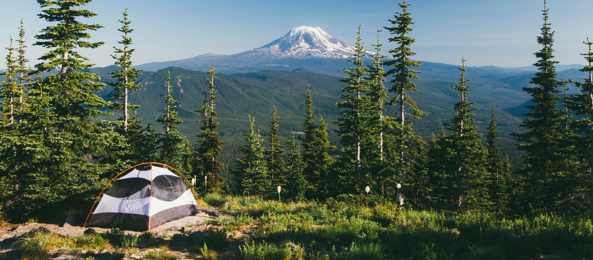
Constructed in the 1930s by the Civilian Conservation Corps, Turtle River State Park is located in a beautiful, wooded valley along the meandering Turtle River. The park features year-round recreational activities, including camping, picnicking, hiking, mountain biking, cross-country skiing and sledding.
Park guests enjoy shaded picnic areas and secluded camping sites. There are over 10 miles of trails carved through the forested hills and along the Turtle River. Anglers can also practice their fly fishing techniques in the trout-stocked river.
Camping
Campsite Types
71 Modern Campsites
(electricity & water)
Price: $25 per night
3 Group Campsites
(the ability to put multiple units on one site)
Price: $25 per night, per unit
26 Primitive Campsites
Price: $17 per night
Trails
Turtle River State Park has a system of mountain biking, hiking, and interpretive trails. Winter users will find more than 7.5 miles of groomed cross-country ski trails, and plenty of opportunities for snowshoeing.
Fisher Loop
Distance: .65 miles
Open to: hiking, mountain biking, cross-country skiing, snowshoe
This wooded trail is accessed from the CCC Trail Head and returns to the same location. This trail crosses over the Turtle River and winds along the river corridor. It provides access to the Riverview and Timber trails and is groomed for cross-country skiing in winter.
Coneflower Loop
Distance: .61 miles
Open to: hiking, mountain biking, snowshoeing
This prairie and wooded trail is accessed from the via the Prairie Pass Trail. This trail loops through the prairie, into the wood line following the river corridor and returning to the prairie.
Timber Loop
Distance: 1.16 miles
Open to: hiking, mountain biking, cross-country skiing, snowshoe
This wooded trail is accessed from the CCC Trail Head via Fisher Loop and returns to the same location via Riverview. It begins along the Turtle River and meanders back through wooded hillsides. It is groomed along a modified route for cross-country skiing in winter.
Prairie Pass Trail
Distance: .64 miles
Open to: hiking. mountain biking, snowshoeing
This prairie trail is accessed from the CCC Trail Head via Fisher/ Riverview and ends at the Moose Head Trail accessed via the Woodland Lodge Trail Head. This trail meanders through the prairie, crossing the old entrance roadbed and features the old entrance booth as a resting location. Coneflower, Moose Head and Riverview trails can be accessed from this trail.
Moose Head Trail
Distance: 1.31 miles
Open to: hiking, mountain biking, snowshoeing
This scenic trail begins at the Woodland Lodge Trail Head and loops back to the Chalet and ball diamond. This trail is mostly wooded as it meanders along the creek corridor and features a foot-bridge crossing at the southeast end of the trail. Prairie Pass, Riverview, Eco Loop, and the Woodland Lodge can be accessed from this trail.
River View Trail
Distance: 1.05 miles
Open to: hiking, mountain biking, snowshoeing
This wooded trail is accessed from the CCC Trail Head via Fisher Loop and ends at the Woodland Lodge Trail Head. It begins by crossing the Turtle River and climbing the ridgeline that follows along the river with benches for viewing the river. The trail returns to the river corridor at the CCC Dam and ends at the Woodland Lodge. Prairie Pass, Moose Head and Timber trails can be accessed from this trail.
Woodchuck Trail
Distance: .2 miles
Open to: hiking, mountain biking, snowshoeing
This trail begins at the CCC Memorial Shelter and ends Woodland Lodge Trail Head. This trail follows the Turtle River corridor with access to the river.
Eco Loop
Distance: 1.05 miles
Open to: hiking, cross-country skiing, snowshoe
This scenic trail begins at the Chalet Trail Head and ends on the Moosehead Trail. This trail features wooded hillsides, open prairies and views of the oxbow wetlands. Cattail trail access via this trail. A modified route is groomed for cross-country skiing in the winter.
Cattail Loop
Distance: .62 miles
Open to: hiking, snowshoeing
This trail is accessed via the Eco loop trail. It features a wildlife viewing station of the oxbow wetlands, boardwalk crossing of the oxbow, and finishes in the wooded hillside of the Eco loop trail.
Raven Ravine
Distance: 2.53 Miles
Open to: hiking, mountain biking, snowshoeing
This scenic trail begins at the CCC Trail Head and loops back to the Woodland Lodge. There are several connections to the campground, amphitheater, and the playground. This trail is mostly wooded as it meanders along the creek corridor, featuring a water crossing at the north end of the trail and two benches. Portions of this trail are groomed for Fat Tire Bikes and hiking in the winter.
Keystone
Distance: 2.53 Miles
Open to: hiking, mountain biking, snowshoeing
This scenic trail begins at the Trapper’s Rest Campground and ends at the Hollow’s Bridge parking area. There are several connections to the campground, Agassiz picnic area, and the Turtle River. This trail is wooded as it meanders along hillsides of the river corridor. Portions of this trail are groomed for Fat Tire Bikes and hiking in the winter.
Hollows
Distance: 1.74 Miles
Open to: hiking, mountain biking, snowshoeing, cross-country skiing
This scenic trail begins at the Visitor Center and ends at the Hillside Picnic Area with access to the Hollow’s Bridge parking and picnic area. This wooded trail winds through the hillsides and along the river corridor. Portions of this trail are groomed for Fat Tire Bikes and hiking, and others for cross-country skiing in the winter.
Park Amenities:
Picnic shelters
Playground
Sewage dump
Showers and flush toilets
Sledding area
Visitor center
Warming house
AARP Events for Sawyer
-
Featured Event
Downsizing Made Simple: Declutter Your Home
Thursday, Jan 29, 2026 at 10:00 a.m. CT
AARP North Dakota State Office
Bismarck, ND
-
Featured Event
Spotting the Warning Signs of Romance Scams
Wednesday, Feb 11, 2026 at 6:00 p.m. CT
Morton Mandan Public Library
Mandan, ND
-
Featured Event
10 Warning Signs of Alzheimer's and Dementia
Thursday, Feb 26, 2026 at 2:00 p.m. CT
AARP North Dakota State Office
Bismarck, ND

with Automatic Renewal
- Immediate access to your member benefits
- Discounts on travel and everyday savings
- Subscription to AARP The Magazine
- FREE second membership


