
AARP Hearing Center
CLOSE ×
Search
Popular Searches
Suggested Links

AARP Membership — $15 for your first year when you sign up for Automatic Renewal
Get instant access to members-only products and hundreds of discounts, a free second membership, and a subscription to AARP the Magazine.


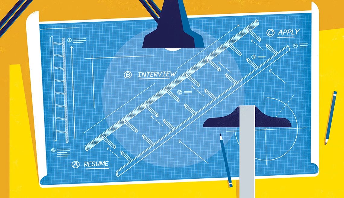
Flexible Work

AARP Skills Builder

Flexible Work

ON-DEMAND WEBINARS

Drug Prices

Social Security

Medicare & Medicaid

Caregiving

Webinars

Enrollment

Basics


LONG-TERM CARE

State Guides

Prepare to Care Guides

End of Life


Movies for Grownups


Home Technology

Get Happier

Virtual Community Center


Shelton Lakes Recreation Path
125 Shelton Avenue
Shelton,
CT
06484
By clicking the links above, you'll leave AARP and go to a website that is not operated by AARP. A different privacy policy and terms of service will apply.
Length: 1.9 mi. (north section);
2.4 mi. (south section)
Rating: Easy
Features: Pine Lake, Silent Waters, and Hope Lake.
Trail Markings: Yellow
Suggested hike: The "Bridge to Bridge" route (4.8 miles) uses most of the Rec Path plus a scenic section of Dominick Trail.
General Description: A work in progress, the Rec Path links the school campus area near downtown Shelton with Huntington Center. At it's completion, the entire path will be 8 to 12 feet wide and handicapped-accessible, wending its way through 500 acres of forested public open space, and skirting three scenic reservoirs.
The Rec Path can be identified on the Shelton Lakes Trail Map by the long dash, and in the field by yellow blazes.
The first section of the Rec Path, near the Police Station, High School and Intermediate School has been surfaced with crushed stone. Other sections are still natural earth hiking trails, but will be upgraded.
The beginning of the Rec Path is marked by a pedestrian bridge over the dam at Pine Lake (formerly Shelton Res.), visible from Shelton Avenue. The end of the trail is also marked by a pedestrian bridge, this one in Huntington Center, across the street from St. Lawrence Church. The northern and southern sections of the Rec Path do not directly connect at this time, but by taking a scenic detour onto Dominick Trail you can hike the Rec Path from one end to the other.
AARP Events for Nacogdoches
-
Featured Event
Benefit From a Strength Training Series
Wednesday, Jan 21, 2026 at 1:00 p.m. CT
Zoom
Online Event
-
Featured Event
Maximum Flavor, Minimum Fuss Cooking Series
Tuesday, Jan 27, 2026 at 1:00 p.m. CT
Zoom
Online Event
-
Featured Event
Benefit From a Strength Training Series
Wednesday, Jan 28, 2026 at 1:00 p.m. CT
Zoom
Online Event

Only $15 your first year
with Automatic Renewal
with Automatic Renewal
- Immediate access to your member benefits
- Discounts on travel and everyday savings
- Subscription to AARP The Magazine
- FREE second membership
Join AARP
Already a member? Renew or
Print Card