
AARP Hearing Center
CLOSE ×
Search
Popular Searches
Suggested Links

AARP Membership — $15 for your first year when you sign up for Automatic Renewal
Get instant access to members-only products and hundreds of discounts, a free second membership, and a subscription to AARP the Magazine.


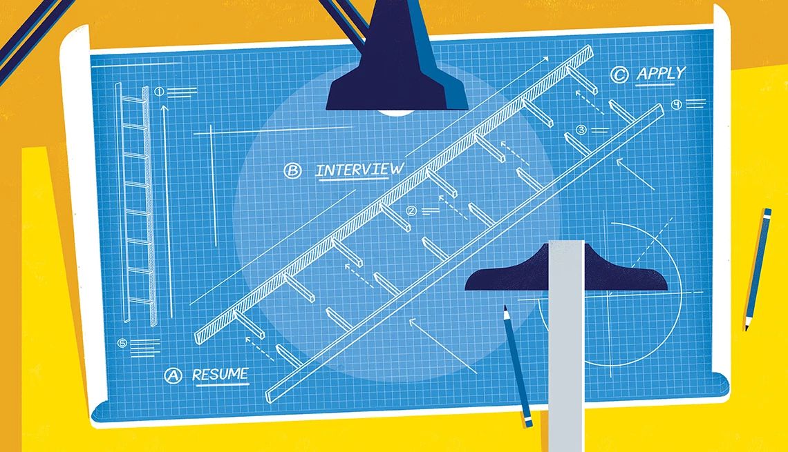
Flexible Work

AARP Skills Builder

Flexible Work

ON-DEMAND WEBINARS

Drug Prices

Social Security

Medicare & Medicaid

Caregiving

Webinars

Enrollment

Basics


LONG-TERM CARE

State Guides

Prepare to Care Guides

End of Life


Movies for Grownups


Home Technology

Get Happier

Virtual Community Center


Emma Carlin Hiking Trail
County Highway Z just south of State Highway 59
Eagle,
WI
By clicking the links above, you'll leave AARP and go to a website that is not operated by AARP. A different privacy policy and terms of service will apply.
This trail system, on County Highway Z just south of State Highway 59, goes through a hardwood forest with mostly hilly terrain. Three color coded trails ranging from 2 to six miles. Parking, water, and vault toilets are available. The trails in this system are single-track mountain bike trails that are generally more difficult than the John Muir Trails.
- Brown Loop, moderate, 2 miles: Skirt in and out of pines and hardwoods, pass a kettle lowland, then after joining up with the orange loop, proceed uphill along a moraine and back downhill to the trail head.
- Orange Loop, moderate/hard, 4 miles: Traverse the contours of the glacial geography, generally uphill to the scenic overlook where the Connector trail meets the Carlin trails. Then get ready for lots of ups and downs until meeting back with the brown loop.
- Green Loop, hard, 6 miles: This trail is continuous with the orange, until it splits off on the southern half of the loop. Here you are in for several difficult ups and downs.
AARP Events for Sainte Genevieve
-
Featured Event
Virtual Museum Tours: Explore World-Famous Sites
Wednesday, Jan 28, 2026 at 12:00 p.m. CT
The Mirowitz Center
St. Louis, MO
-
Featured Event
Computer Shopping Made Simple
Wednesday, Feb 4, 2026 at 12:00 p.m. CT
The Mirowitz Center
St. Louis, MO
-
Featured Event
Spot Scams: Essential Digital Skills Workshop
Wednesday, Feb 11, 2026 at 12:00 p.m. CT
The Mirowitz Center
St. Louis, MO

Only $15 your first year
with Automatic Renewal
with Automatic Renewal
- Immediate access to your member benefits
- Discounts on travel and everyday savings
- Subscription to AARP The Magazine
- FREE second membership
Join AARP
Already a member? Renew or
Print Card