
AARP Hearing Center
CLOSE ×
Search
Popular Searches
Suggested Links

AARP Membership — $15 for your first year when you sign up for Automatic Renewal
Get instant access to members-only products and hundreds of discounts, a free second membership, and a subscription to AARP the Magazine.


Flexible Work

AARP Skills Builder

Flexible Work

ON-DEMAND WEBINARS

Drug Prices

Social Security

Medicare & Medicaid

Caregiving

Webinars

Enrollment

Basics


LONG-TERM CARE

State Guides

Prepare to Care Guides

End of Life


Movies for Grownups


Home Technology

Get Happier

Virtual Community Center


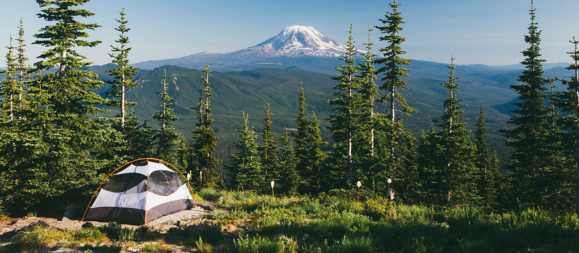
Appalachian Trail - Baldpate Mountain
Bethel,
ME
04261
By clicking the links above, you'll leave AARP and go to a website that is not operated by AARP. A different privacy policy and terms of service will apply.
(5.8 miles round trip to West Peak; 7.6 miles round trip to East Peak; allow 7 hours round trip; challenging) Cross Route 26 and follow the white-blazed Appalachian Trail north, crossing Route 26. Entering the Mahoosuc Public Lands, the trail ascends steadily across the north slope to the open summit of West Baldpate (elevation 3, 680 feet). Turning north, the trail loses only 240 feet in altitude before climbing to East Peak, nearly a mile beyond. East Peak (elevation 3, 812 feet) offers outstanding views in all directions.
AARP Events for New Cambria
-
Gentle Chair Yoga With Guided Breathing
Friday, Jan 30, 2026 at 7:30 a.m. CT
Zoom
Online Event
-
Gain Strength and Flexibility With Hatha Yoga
Friday, Jan 30, 2026 at 10:00 a.m. CT
Zoom
Online Event
-
How to Spot and Avoid Crypto Scams
Friday, Jan 30, 2026 at 11:00 a.m. CT
Online Event

Only $15 your first year
with Automatic Renewal
with Automatic Renewal
- Immediate access to your member benefits
- Discounts on travel and everyday savings
- Subscription to AARP The Magazine
- FREE second membership
Join AARP
Already a member? Renew or
Print Card